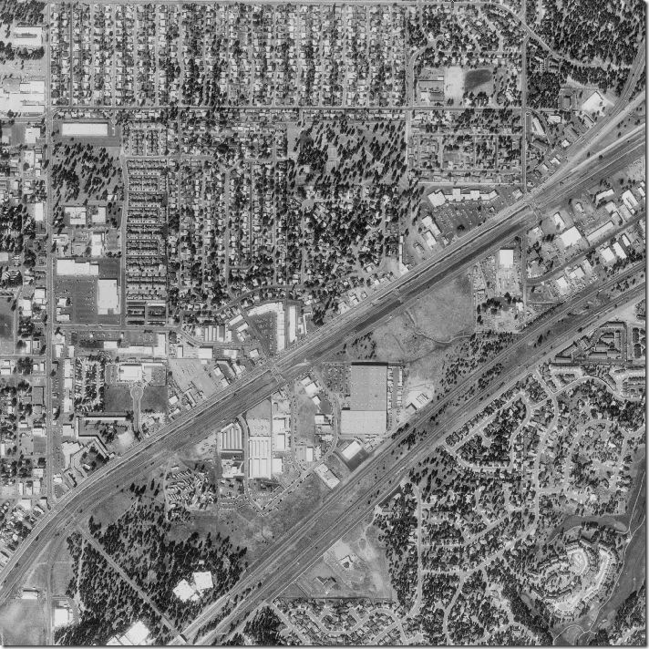
 Also known as orthophoto, this black and white aerial high altitude images provide great detail of the area. From this high view once can see the differences in terrain relief which can be very useful when it comes to updating surface features on maps.
Wednesday, November 26, 2008
Subscribe to:
Post Comments (Atom)
No comments:
Post a Comment